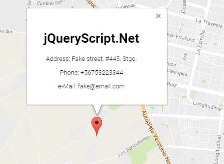
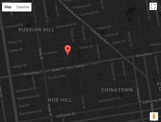
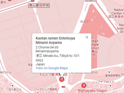
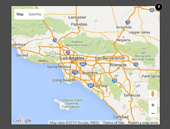
jquery-findus
Create contact-maps easily.
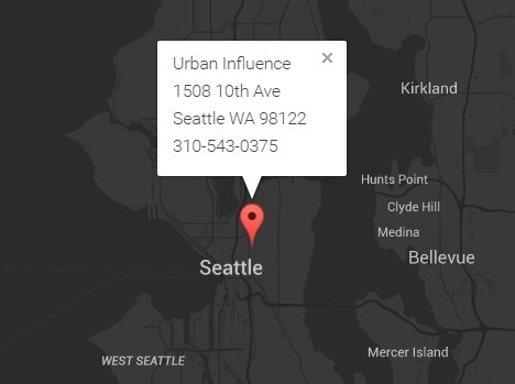
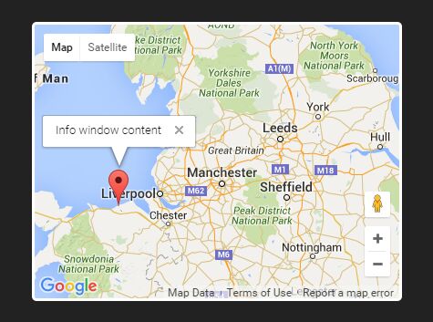
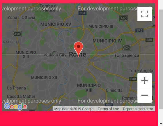
A jquery-plugin that lets you quickly build a customizable map without hassling with google maps api.
Install
Include js dependencies
<script src="https://code.jquery.com/jquery-1.11.2.min.js"></script> <script src="http://maps.googleapis.com/maps/api/js"></script> <script src="js/jquery.findus.min.js"></script>Optionally include css
<link rel="stylesheet" href="css/jquery.findus.css">Usage
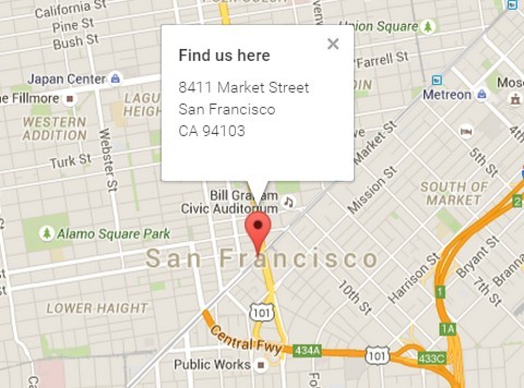
Provide geocodeable content
<div class="findus"> <h4>Find us here</h4> 8411 Market Street<br/> San Francisco<br/> CA 94103<br/> USA </div>Initialize findus
$(function() { $('.findus').findus(); });Examples
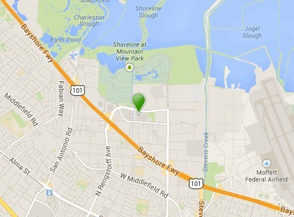
Provide location
You may also reverse-geocode an address from a location:
<div class="findus" data-latitude="37.77485730000001" data-longitude="-122.41962339999998"></div>Provide location and content
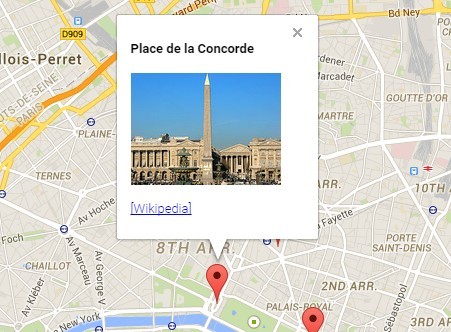
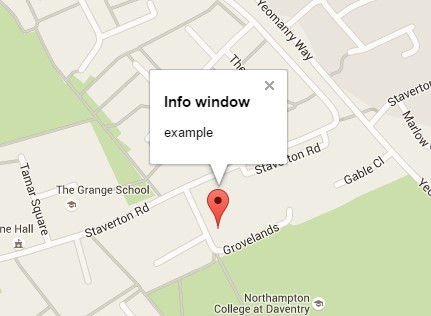
To avoid the geocoding service completely, provide both, an location and some content to show up in the map's info-window.
<div class="findus" data-latitude="37.77485730000001" data-longitude="-122.41962339999998"> <h4>Find us here</h4> <p> 8411 Market Street<br/> San Francisco<br/> CA 94103<br/> USA </p> </div>Options
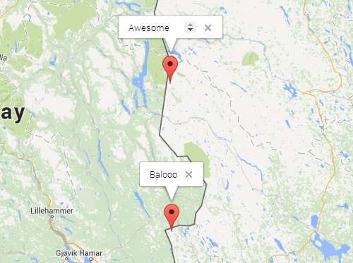
You can also use data-attributes to setup the component. Target subsets by using prefixes, such as 'marker-icon'.
| Name | Description |
|---|---|
| address | A geocodeable address string |
| autoShow | Specifies whether to show info-window on render. Defaults to true. |
| bindResize | Specifies whether to bind window resize. Defaults to true. |
| content | HTML content to be shown in info-window. A geocodeable string can be explicitly defined by containing it in an address-tag. |
| latitude | Location coordinate latitude |
| longitude | Location coordinate longitude |
| info | Options passed to the info-window instance |
| map | Options passed to the map instance. Defaults to { zoom: 15, mapTypeId: google.maps.MapTypeId.ROADMAP, disableDefaultUI: true, draggable: false, zoomControl: false, scrollwheel: false, disableDoubleClickZoom: true } |
| marker | Options passed to the marker instance |
Changelog
Master
- Optimize content geocoding
v0.0.5
- Added fix for map-icons
v0.0.4
- Set map option 'draggable' to false by default
v0.0.3
- Fixed too strict jquery dependency
v0.0.2
- Added prefixed data-attributes.
- Changed zoom default to 14.
- Draggable map by default.
v0.0.1
- Initial Release
