gmapstlr
gmapstlr is a jQuery plugin that allows you to easily create and customize google maps.
Features
- Easy to use.
- Set initial position and type of map.
- Set google maps options.
- Set minimum, maximum and initial zoom level.
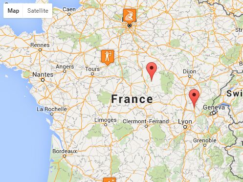
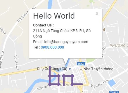
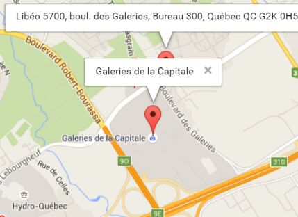
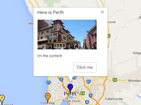
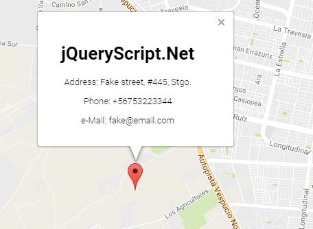
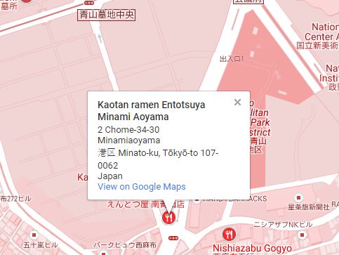
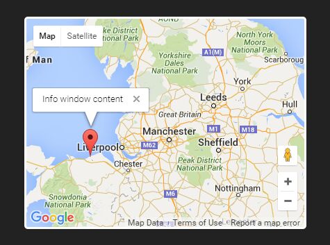
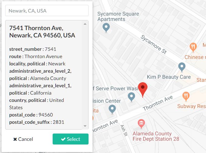
- Add multiple markers with custom icons, popups and titles.
- Allows you to set a main color for your map (plus a saturation and brightness value).
- Enable and disable a lot of featureTypes.
Usage
You need to use the Maps API V3 Javascript from Google, you can set the sensor parameter to true or false to detect the user's location, there's no need to generate an API key:
<script src="https://ajax.googleapis.com/ajax/libs/jquery/2.0.2/jquery.min.js"></script> <script type="text/javascript" src="http://maps.googleapis.com/maps/api/js?sensor=false"></script> <script type="text/javascript" src="js/map.js"></script> Events handling
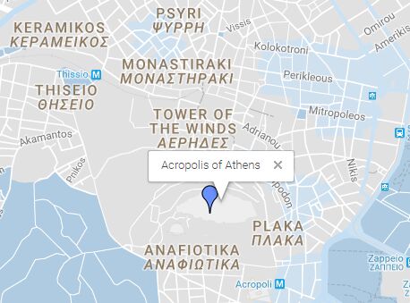
var latitude = 37.971421, longitude = 23.726166, map_zoom =15; Options
Set the main color for your map (include saturation and brightness value)
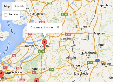
var main_color = '#2196f3', saturation_value= -20, brightness_value= 5; Define the style for your map (given a lot of options) These values determine the style of the custom map. Ex, to style the road we set:
var style= [ { featureType: "road", elementType: "geometry.fill", stylers: [ { hue: main_color }, { visibility: "on" }, { lightness: brightness_value }, { saturation: saturation_value } ] }, Set google maps options
You can have a look at the complete list of the featureTypes on the Google developer’s guide
panControl: false, disableDefaultUI: false, zoomControl: true, zoomControlOptions: { position: google.maps.ControlPosition.RIGHT_CENTER }, The main content of information
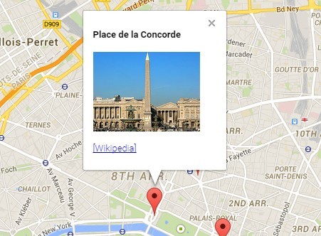
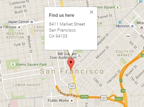
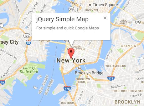
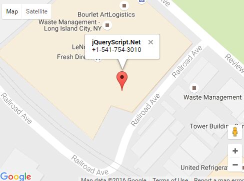
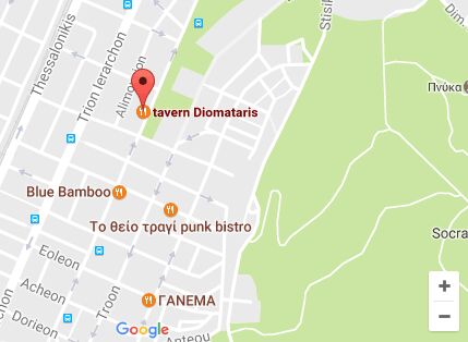
var latlng1 = new google.maps.LatLng(37.971421, 23.726166); var marker1 = new google.maps.Marker({ position:latlng1, map:map, icon: 'http://maps.google.com/mapfiles/ms/micons/blue.png'}); google.maps.event.addListener(marker1, 'click', function(){ infowindow.close();//hide the infowindow infowindow.setContent("<strong>Acropolis of Athens</strong>"); infowindow.open(map, marker1); } Contributing
To contribute this plugin, clone this repo locally and commit your code. Please check that everything works before opening a pull-request.
Note:
SASS and CSS
I use SASS and for the resources compass. If you don't use SASS, just use the .css file that you find in the css folder also you can delete sass folder.
I have integrated Eric Meyer’s CSS reset rules